Round Manaslu Trek

Nepal, Manaslu Region
Challenging
Available Departures: Spring and Autumn
17 days
Trip Code: RMTNP

Round Manaslu Trek

At a glance
  • Trip Start: Kathmandu
  • Trip End: Kathmandu
  • Trek Start: Maccha Khola
  • Trek End: Besisahar
  • Maximum Altitude: 5167 m
  • Group Size: 4-16
  • Accommodation: Lodge
  • Meals: Standard
  • Service: Full board
  • Accommodation Info: 4 nights hotel & 12 nights Lodge

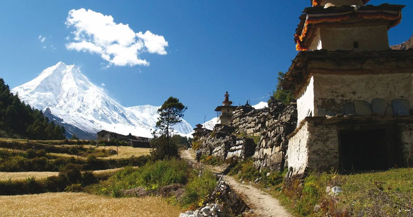
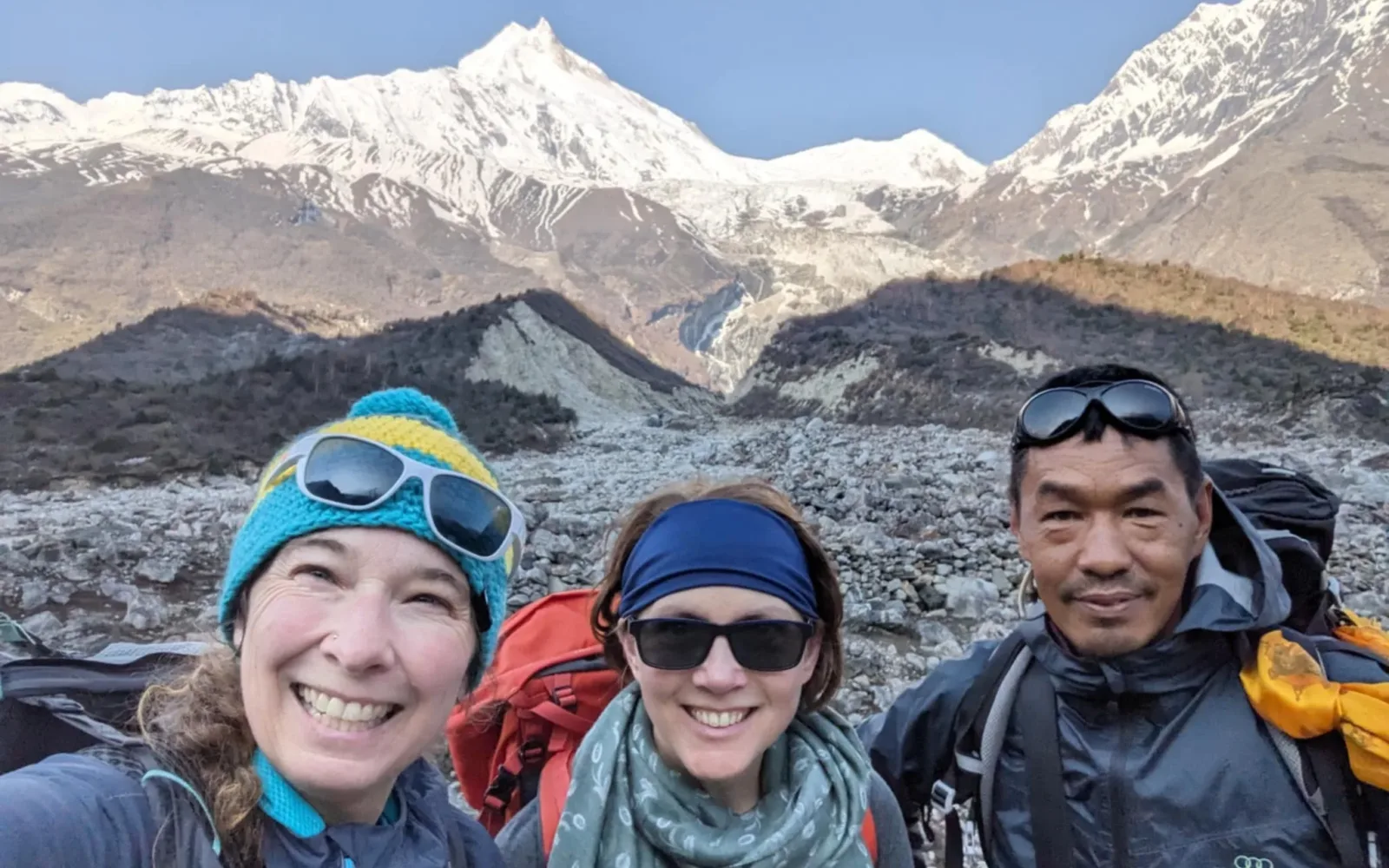
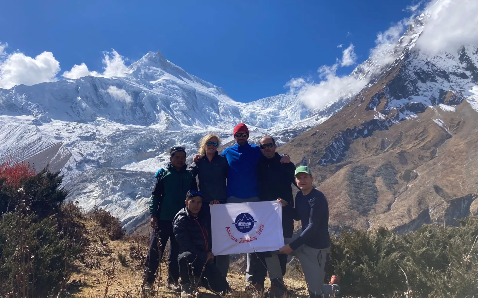
The Manaslu/Gorkha Trek lies in the Gandaki Zone, and the mountain scenery of Manaslu is astonishing. There’s the two-horned massif of Manaslu (8156m), the circumnavigation of which is a meditation on the wonders of Himalayan geology. There’s Himchuli, which rises an incredible 7000m from the Marsyangdi River. Nested in between these Himalayan giants are the villages drawn from Hindu and Buddhist influences. Add a sprinkling of butterflies in the forests, and you’ll be convinced you’ll catch sight of the shy red panda. Manaslu has long been overshadowed by the established trekking regions to either side. But the ‘spirit mountain’ is so spectacular and so easily accessible by road, it’s a mystery why it’s taken so long for guides and trekkers to discover it.

Manasulu lies north of the historic fortess town of Gorkha, from where the last kings of Nepal ventured forth to conquer the rest of the country in the 18th century. The Manasulu Circuit has recently become a teahouse trek, opening up the misty wood-shingled villages of Nubri valley. But hikers are free to explore the many other trails being forged right now.
Itinerary

Namaste! And welcome to Kathmandu, the colorful capital of Nepal where ornately carved balconies mingle with beautiful shrines and temples. Your adventure begins with a welcome meeting on arrival at the exit gate of Kathmandu airport. Our staff will welcome you and pick you to your accommodated hotel. Please seek our company palmplate to find our staff at the main exit gate of the airport. Rest of the day you can relax at the hotel or short evening walk around local market on your own as per your wish.

Accomodation

Hotel

Meals

None

Drive

30 mins

A well-deserved rest day at cozy of hotel after a long tiring flight. This day, one can move around nearby local market to purchase or hire trekking equipment that is necessary for the trekking like sleeping bags, walking sticks etc, exchange currency as requirement or simply walk around in the local market or Kathmandu Durbar squire nearby with small entrance fee as per your preference on your own. Evening at the hotel lobby there will be pre-trip briefing in which you will be introduced with your trekking guide and explained about your trip in short, instruction for safety etc.

Accomodation

Hotel

Meals

Breakfast

Today our trekking starts. After breakfast we board our bus for the drive through the foothills of the Himalaya following the Trishuli River to its confluence with the Burhi Gandakhi where we turn north to reach large village of Arughat Bazaar (670m). Clustered on both sides of the river, and linked by a suspension bridge, this is the largest settlement in the valley. Continuing northwards on a dirt road alongside the river we pass through several villages enroute to our overnight lodge at Macchu Khola (900m).

Accomodation

Lodge

Meals

BLD

Drive

8 hrs

We cross the tributary river that gives its name to Machha Khola and head upstream to the tiny village of Kholabesi and the hot springs at Tatopani, where it is possible to stop for a wash. The valley sides become steeper and steeper, until they are impassable and the route then switches to the true left bank of the river by way of a suspension bridge. After a short section of forest path, we stop for lunch at Doban. Above Doban, the Burhi Gandaki descends an impressive series of rapids. Beyond this steep section, the river is much more placid, meandering across a broad gravel bed. We have a short, sharp climb to Louri, where we cross the Vana river on a suspension bridge and in a further hour we reach our next lodge in the pretty village of Jagat (1410m) with its paved street and lots of colorful flowers.

Accomodation

Lodge

Meals

BLD

Time

6 – 7 hrs

Our trekking permits are checked in Jagat, before we descend a long series of stone steps to the river and then climb a terraced hill to Saguleri, from where we get a great view of Sringi Himal (7187m) in the distance. At Gata Khola, we cross the river on a large suspension bridge and climb steeply to Philim and then to Chisopani which is a good place to stop for lunch. The trail now proceeds across the hillside on a contouring path with stunning views of a nearby waterfall. We are now entering the alpine zone with pine trees in evidence. The trail passes the junction for the steep trail to Nyak on the left and shortly after enters a dramatic section of gorge where the trail climbs up and down across the vegetated walls of the canyon. In places, the trail is cut into the sheer cliff walls and it is cooler now, with occasional views of Ganesh lV. Crossing to the northeast side of the river we have a short climb before an easier contouring stage to the next bridge where we cross back to the southwest and climb up through Phewa to the lodges of Deng (1900m).

Accomodation

Lodge

Meals

BLD

Time

6-7 hrs.

From Deng, with a fair amount of up and down, we arrive at Bihi where we have CAN Project. Beyond the village we cross the Serang Khola and climb again on a trail which rises high above the main Burhi Gandakhi. The valley is still steep-sided and most impressive and we begin to see mani stones (prayers etched onto wayside rocks), a sure sign that we are entering an area influenced by Buddhism. After approximately 2.5 hours walking from Bihi, we reach village of Ghap (2040m), which straddles the river across a relatively short wooden bridge. For the first time, we can see that there is a strong Tibetan influence at this village. After crossing the alpine forest of pines and juniper with the occasional clearing giving glimpses of snowy mountains, the valley is now steeper with ravines and water cascades. We cross the river again and begin a long climb with some steep staircases up to the village of Namrung (2630).

Accomodation

Lodge

Meals

BLD

Time

7-8 hrs

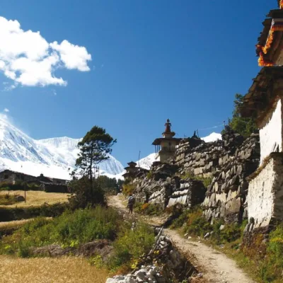
After a couple of long days we now have a shorter one, trekking as far as Lho where we are above the 3000 metre contour and therefore need to restrict our daily altitude gain. Beyond Namrung the valley opens out and there are quite extensive barley fields and pastures as we trek through the village of Banjam. Climbing quite steeply, we reach the picturesque village of Lihi (2920m). We cross a large stream flowing down from the Lidanda Glacier, and pass through the Tibetan village of Sho. Just above this village we get a splendid view of Manaslu North and then of Manaslu itself straight ahead. We should reach our destination Lho (3150m) after approximately 3 to 4 hours of trekking and we will probably opt to take lunch in our destination lodge today. Lho is a large village with a lovely little monastery and numerous chortens, mani walls and a very ornate white stupa. The twin peaks of Manaslu now dominate our view but Ganesh 1 is also visible looking back the way we have come and to the northeast is a most impressive wall of rock rising to the snow capped summit of Saula (6235), part of the Kutang Himal. We can take the afternoon as a well earned rest day or it is possible to climb to a viewpoint above the village for unobstructed views of Manaslu, Manaslu North and Naike Peak.

Accomodation

Lodge

Meals

BLD

Time

3-4 hrs

Leaving Lho, we follow the right bank of the river, with views of Ngadi Chuli ahead. A couple of hours climbing through the forest with occasional stream crossings on log bridges brings us to the village of Shala which commands a superb panorama of Phungi, Manaslu and Himal Chuli. Descending the main trail, we cross the outflow from the Punggen Glacier and then climb beside the torrent to a ridge. We now have the luxury of downhill trekking for a while but soon we reach the fields of Sama Gaon. We will stay at the lodge nearby Sama Gompa (monastery). There are breathtaking views from here of the granite pyramid of Manaslu. The altitude at Sama is 3520 metres and this is as far as we shall go today. This day you can enjoy with good internet WiFi (they will charge you hourly).

Accomodation

Lodge

Meals

BLD

Time

3-4 hrs

Rest day for Acclimatization and hike around Birendra Lake (On 21 April 2024, a flood from the glacial lake Birendra Tal occurred. This was triggered by a massive ice avalanche after the breaking of ice chunks (known as calving) from the snout (end) of the Manaslu Glacier into the lake water) or Manaslu Base Camp 4,800 meters (15,748 ft). If you decide to go to Manaslu Base Camp, then you need to carry your own pack lunch.

Accomodation

Lodge

Meals

BLD

Leaving Sama Gaon, we continue to follow its course ever upwards heading north once again and there are now excellent mountain prospects around every turn of the trail. Manaslu which is now behind us, is particularly impressive from the meadows at Kermo Kharka. After crossing to the east bank of the river, we reach Somdu (3860m), the last permanent settlement in the valley. This very remote village was established in the 1950's by refugees from Tibet and is only a day’s walk from the border over the Lajyang La. Just 3 hours walking but an altitude gain of 340 metres is as much as we want to do for comfort and so we check into a lodge here.

Accomodation

Lodge

Meals

BLD

Time

3.5 hrs

We have scheduled a second acclimatisation day of the trip here at Somdu. The next stop on the trail after Somdu is at 4450 metres and spending a couple of nights at 3860 metres will prepare us for this height gain. Spending the day at Somdu also gives us the opportunity to explore the village, its gompa and the surrounding area. In general, it is good for our acclimatisation to climb high during the day and then come back down to sleep and there is a terrific, but steep and strenuous, climb up the ridge behind the village which, depending how far you go, gives an increasingly impressive panorama of the area.

Accomodation

Lodge

Meals

BLD

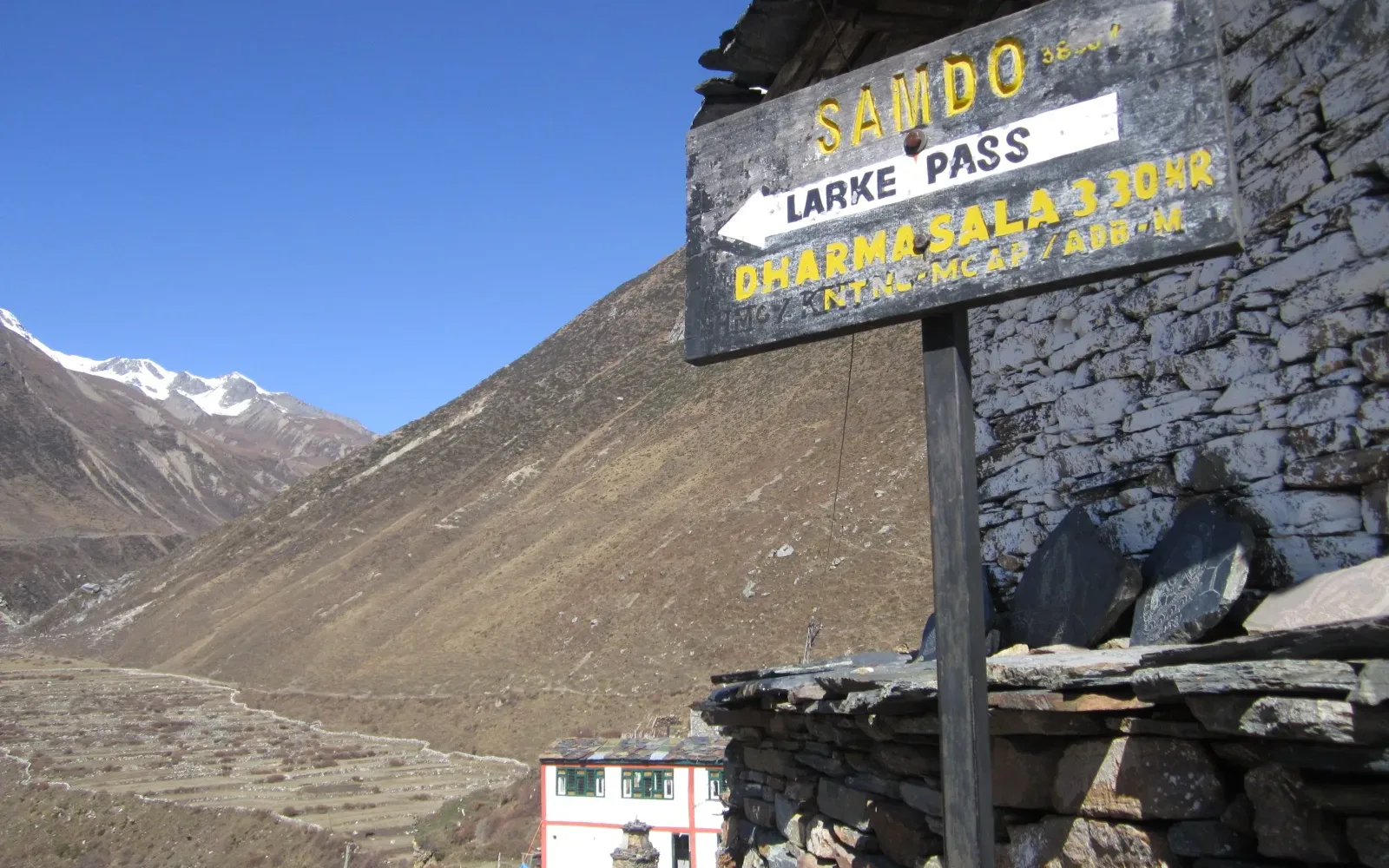
Leaving Somdu we cross the stream which runs down from the Gya La, another pass crossing into Tibet. We pass the ruins of another village here (known as Larkya Bazaar) which once had a thriving trade with Tibet over the nearby passes. Nearing the Larkya Glacier, we reach Duwang (4450m) also known as Dharamsala, where there is a small and quite basic Tea House (at 4450m). This place is also referred to as Larkya Phedi which means the 'foot of Larkya' and this is where the climb to the Larkya La begins. We check into the Tea House (Dormitory) but we may also opt to stay in shared tents here and eat in the lodge.

Note: on this day, we have to be very careful with the food, therefore our trekking guide will advise you the suitable meals.

Accomodation

Teahouse

Meals

BLD

Time

3-4 hrs

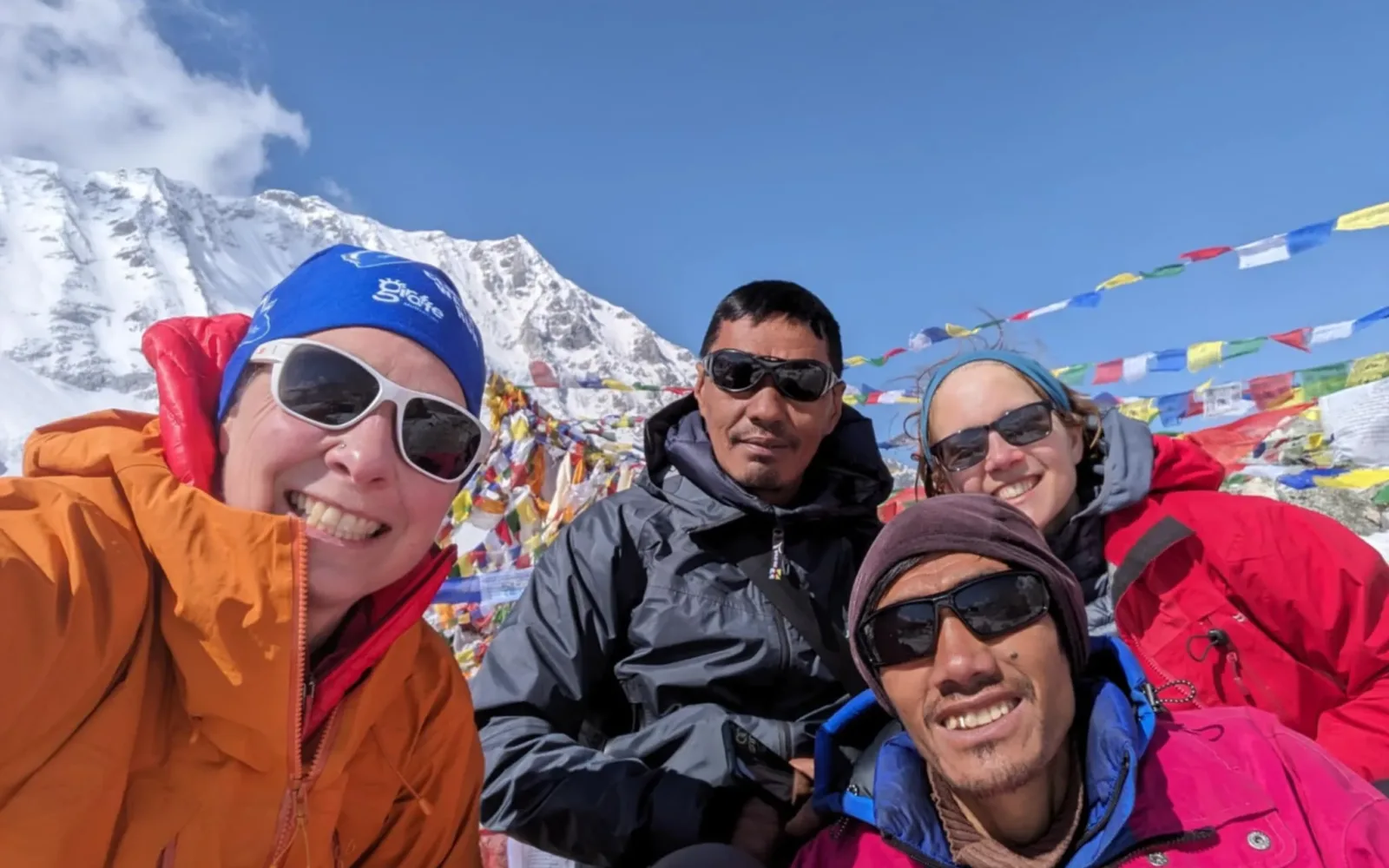
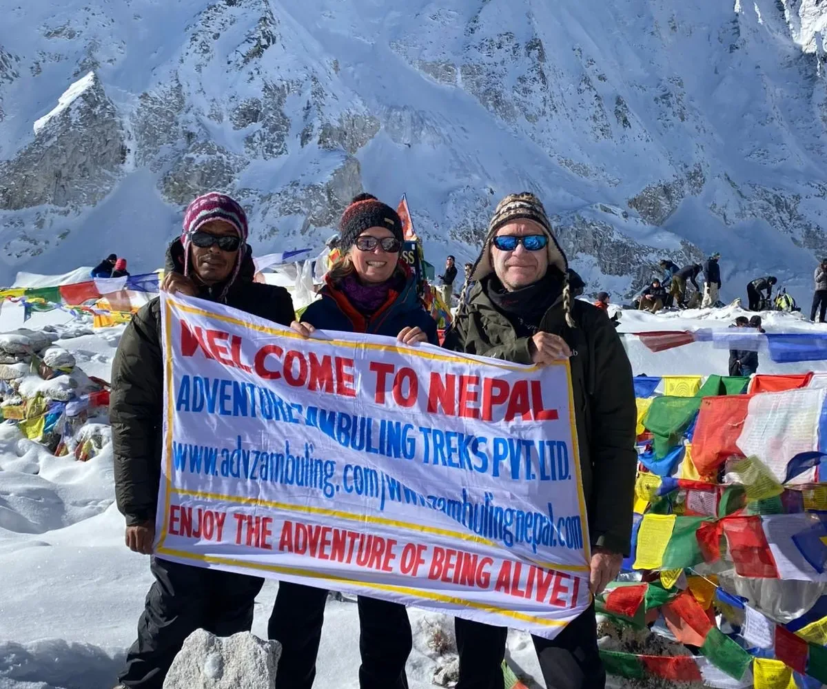
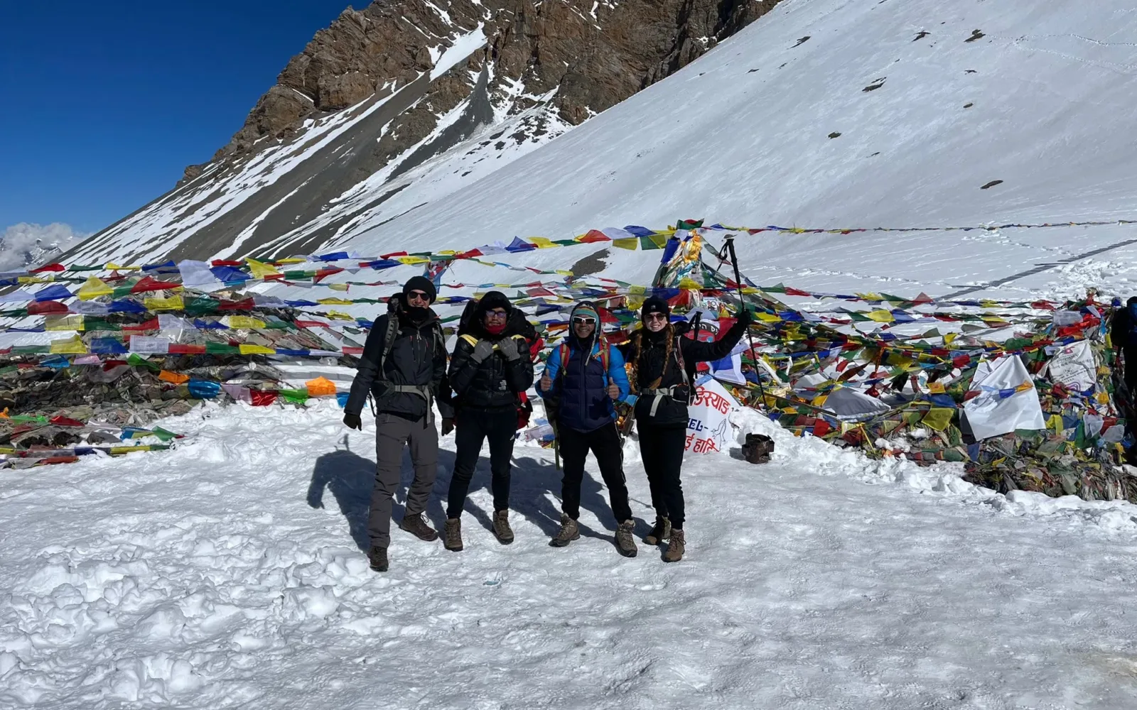
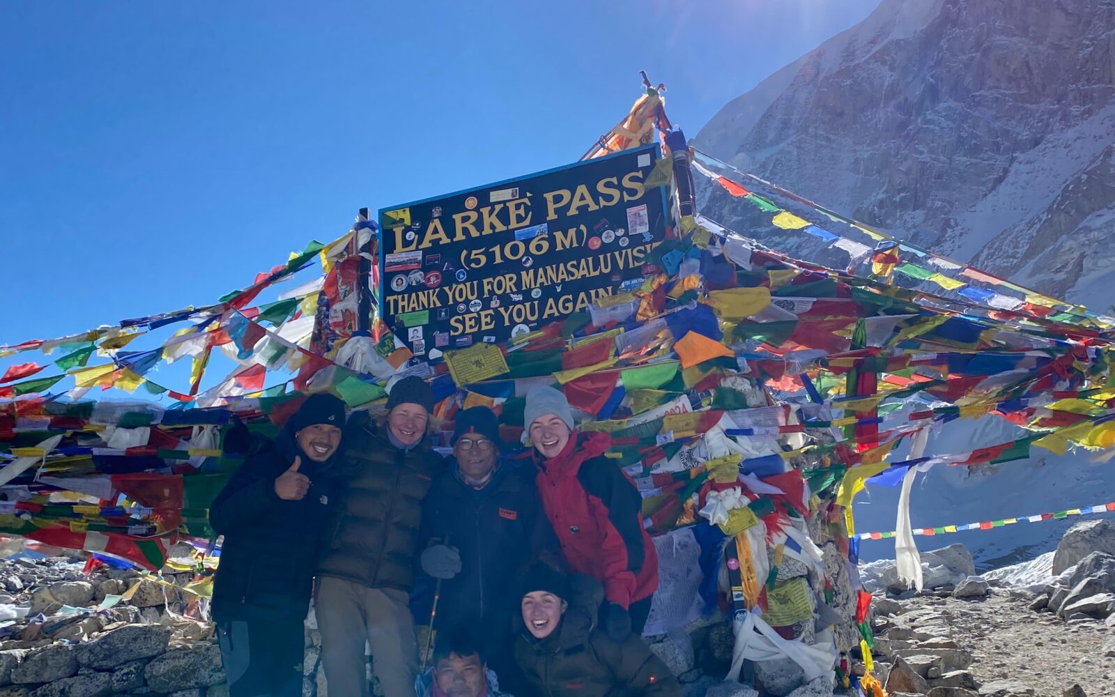
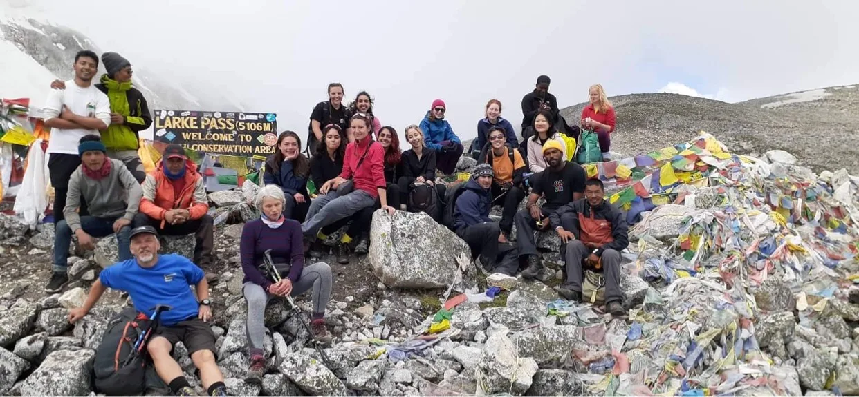
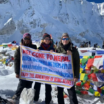
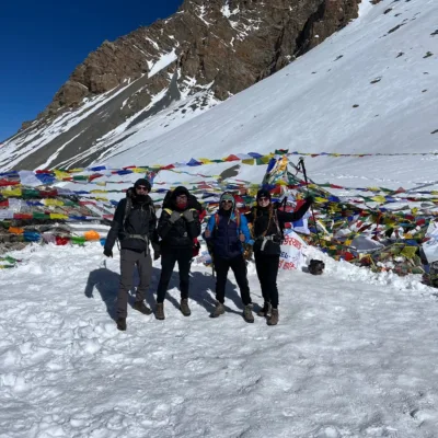
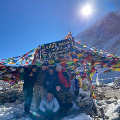
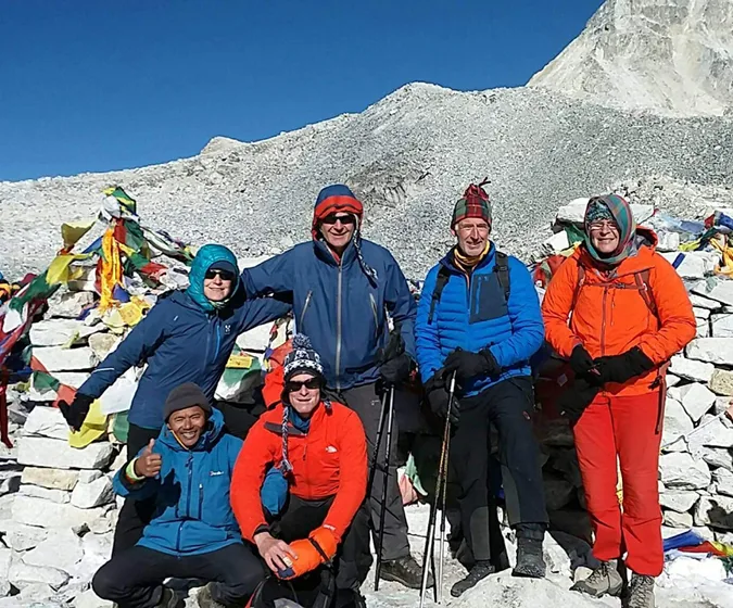
An early (pre-dawn) start for the longest day of the trip. There is an initial, short climb above the lodge to reach the ablation valley on the north side of the Larkya Glacier and from here it is a steady plod upwards. We pass small frozen lakes and there are views of Cho Danda and then of Larkya Peak. We cross boulder fields and crest several ridge lines making for frustrating 'false tops' until finally after around 4 hours of ascent from the lodge, we see the summit cairn and its lines of fluttering prayer flags, on the top there is a small tea shop. If you have any breath left at this point, the view will take it all away. The incredible panorama of Himalayan peaks include Himlung Himal, Cheo Himal, Kang Guru and Annapurna II. There is usually a chill wind blowing at this altitude (5135m) and so we are unlikely to want to stop long here. Initially, there is a steep descent which is likely to be over snow and then scree, to reach the ablation valley trail leading to Dangboche Kharka, here we will have our pack lunch, a good place to stop and rest before continuing the descent to the welcome lodges of Bimthang (3700m). Now we are in Annapurna region.

Accomodation

Lodge

Meals

BLD

Time

10-11 hrs.

Crossing the high pasture of Bimthang, we now descend the valley of the Burdin Khola to the area of the basecamp for the west side of Manaslu. From a ridge at 4150 metre, we have excellent views of Manaslu to the south-east and Annapurna II to the south-west. Beyond a bridge over the headwaters of the Dudh Khola, we descend into a beautiful forest of cedar, birch and rhododendron and follow a trail through a narrow valley until we reach the highest cultivated land in this valley, at Karche. Then, beyond the low ridge of the Karche La, we can look ahead into a green and heavily forested valley which drops down to the distant Marsyangdi River. We descend through more forests of fir and rhododendron through the villages of Gho (2515m) and overnight at Tilje (2300m).

Accomodation

Lodge

Meals

BLD

Time

7 - 8 Hrs

We make the return drive to Kathmandu, first descending the Marsyangdi on the jeep road in 4X4 vehicles to the start of the paved road at BesiSahar. Here we change to more comfortable transportation, boarding our bus or minibus to continue the journey. We travel on winding roads down the Marsyangdi Valley to its confluence with the Trisuli River where we meet the main Pokhara to Kathmandu road. Arriving in Kathmandu in the late afternoon we check into the hotel and have free time for relaxing or independent sightseeing before heading out to the bars and restaurants of Thamel for another celebration dinner.

Accomodation

Hotel

Meals

BL

Drive

9 hrs

This is the final day in Nepal. A chance to do some shopping, explore at leisure or merely relax by the hotel. We enjoy a final night together, reliving the trek and our extraordinary achievements

Accomodation

Hotel

Meals

Breakfast

Drive

30 mins

Includes/Excludes

Includes

  • All ground transportation as per itinerary
  • 4 night hotel accommodation in Kathmandu with B/B plan.
  • TIMs (Trekking Information Management system) card
  • Manaslu & Annapurna conservation area permit
  • Special Restricted Area Entry fee
  • Food for the member during the trek( 3 meals a day as per lodge open menu)
  • Teahouse accommodation on twin sharing basis
  • Medical supplies(First aid Kit will be available)
  • All required Nepalese staffs (salary, food, clothing, accommodation) teahouse basis
  • All Nepalese staffs insurance as per Nepalese Government rules.
  • Company service charge, VAT and government taxes etc

Excludes

  • International flight with airport tax.
  • Nepalese Entry Visa fee
  • Food during stay in Kathmandu
  • All personal equipment and personal expenses
  • Photography Charges, Monument charges and Monument entry fees
  • Personal Medical and travel insurance(must cover helicopter rescue evacuation cost)
  • Personal Medicine
  • Telephone and internet charges
  • Laundry charges
  • Alcoholic beverage, bottled drinks and cold drinks during the trip
  • Rescue evacuation charges if required
  • Staffs and porters Tips...

Equipments

Clothing and Equipments List
» Pack to pack out - bring enough waterproof bags to carry all non-biodegradable rubbish back down the mountain.
» Remove all unnecessary packaging before leaving home.
» Bring enough warm dry clothes so that you can wrap up rather than burn firewood in the evenings.
» If you are going to trek higher than 5000m or you know it will be cold, buy an aluminum water bottle which can also be used as a hot water bottle at night.
» The easiest way to keep hydrated while trekking is to buy a 1 x liter platypus-drinking bladder to carry in your day pack.
» Make sure to buy proper trekking socks. Don’t buy synthetic socks as these promote sweating and can give you blisters. Always carry a few blister pads in your first aid kit and keep them handy in your day pack.
» Walking poles are very useful while trekking and helpful when descending.
» Please remember that waste disposal and recycling facilitates are limited in Nepal. When buying batteries make sure they are rechargeable and/or high quality so they last longer, and take them home to recycle.

More Lists
There is no definitive list. What you bring will vary according to the area, time of year and the length of your trek. Below is a suggested check list which you should adapt to your own needs. Ask yourself: Will there be snow/how long /high is the trek/are we camping?

» Good quality trekking boots with ankle support
» Lightweight shell/raincoat with hood
» Detachable fleece liner or separate fleece
» Fleece trousers
» Shorts and / or convertibles trousers- quick drying
» Sunglasses
» Sun hat and warm hat(good quality)
» Gloves
» Spare T-shirt x 3
» Sweat towel x 2
» Spare socks x 3 ( walking sock and thin inner sock)
» Small day sack
» Sun cream
» Small water bottle aluminum doubles as a hot water bottle.
» Iodine or water purifying kit,
» Soluble vitamin tablets to taste water or powder fruit drink
» Talcum powder
» Walking sticks or Trekking poles(good quality)
» Camp shoes/trainers/flip flops to wear in evening.
» Spare underwear 3
» Toilet kit
» Tissues
» Pen knife
» Bum bag
» Head torch(good quality)
» Biodegradable washing liquid / soap
» FILM
» CAMERA
» Ear plugs
» Sleeping bag liner(good quality)
» Sleeping bag(good quality-30)
» Bin bag/ gasbag to keep kit dry
» Small towel
» Lip balm
» Available in KTM

Personal First Aid (Aids Kit)
» Antiseptic
» Bandages
» Blister plasters
» Decongestant
» AMS medication like Diamox
» Eye drops – it can get very dusty on trails
» Paracetamol and/or ibuprofen
» Rehydration sachets, Imodium and antibiotics for traveler’s diarrhea
» Scissors
» Sterile dressing
» Sticking plasters and tape
» Throat lozenges / sweets
» Tweezers
» A sewing needle etc.

This trekking equipment list has been prepared by Adventure Zambuling Treks (P) Ltd.

Map

Reviews

There are no reviews yet. Be the first one to write one.